Abel Tasman – Torrent Bay to Marahau

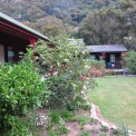
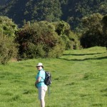
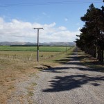
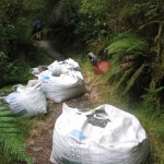
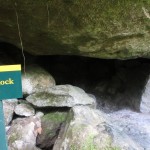
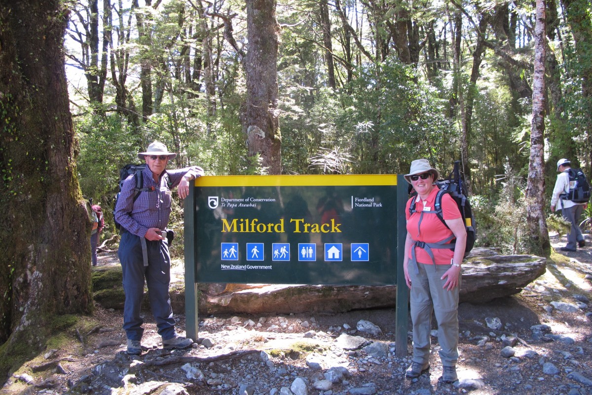
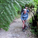
Our final day on the walk was again blessed with glorious weather.  Our steady walkers set off ahead.  They were followed by Dave, an independent-minded farmer from the North Island.  As on a number of occasions, he rather forgot to keep Connie in the picture and one of the memorable things about the walk was the frequent question, “Where’s Dave?”.

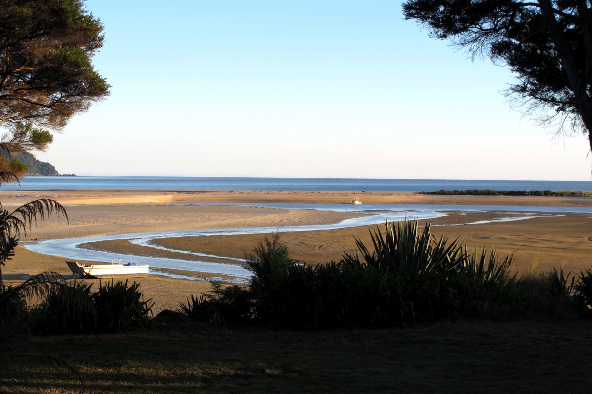
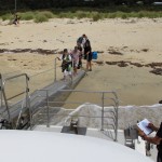
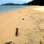
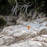
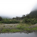
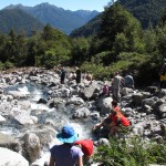
The route out of the Bay is tide dependent. We were leaving at nearly low water and so we had to walk across quite an expanse of sand and mud to make the crossing.  I had decided to do this in bare feet in order to keep my slip-on shoes, which had proved quite difficult to get dry and clean, free of sand and water.  Unfortunately, the path we followed was across a lot of shells and sharp stones and I soon fell behind the others.  So, plan B, put the shoes on.  Much less painful and I soon caught up again.

image
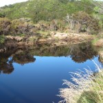
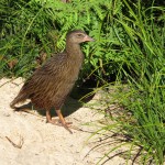
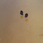
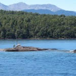
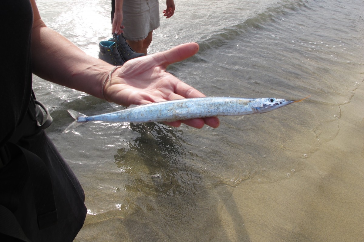
Early in the walk we came across a dead fish in the water which Curtis, the group’s fishing skipper, promptly identified as a garfish.  A popular prey for snappers apparently.

Bell Bird
Bell Bird


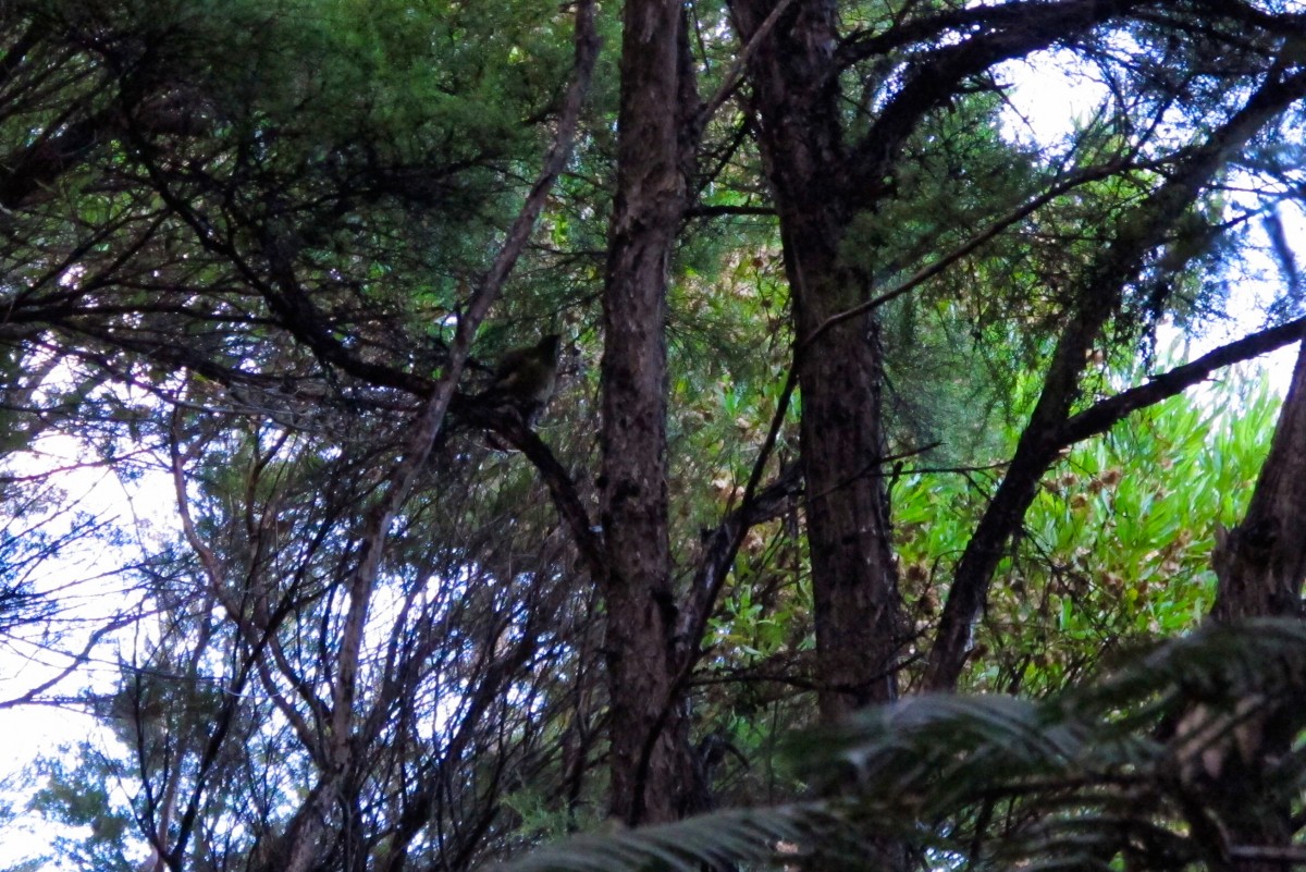
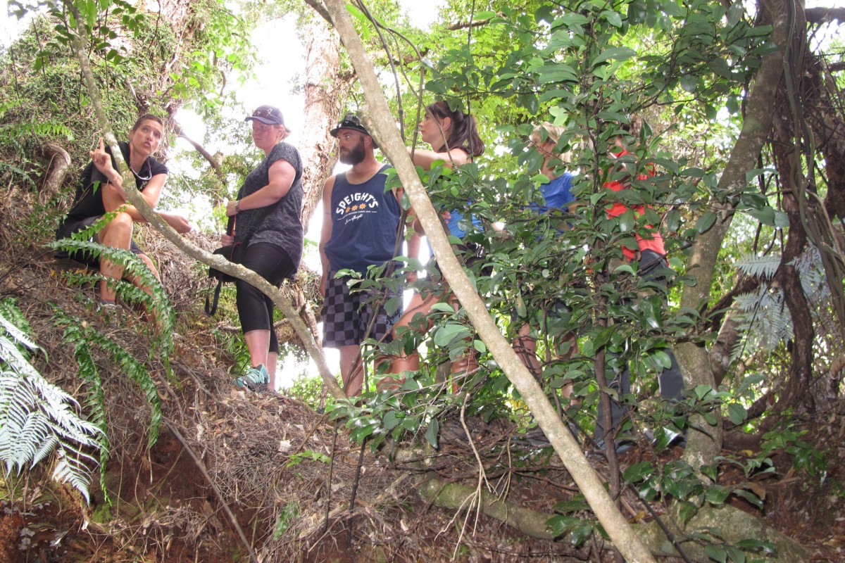
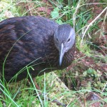
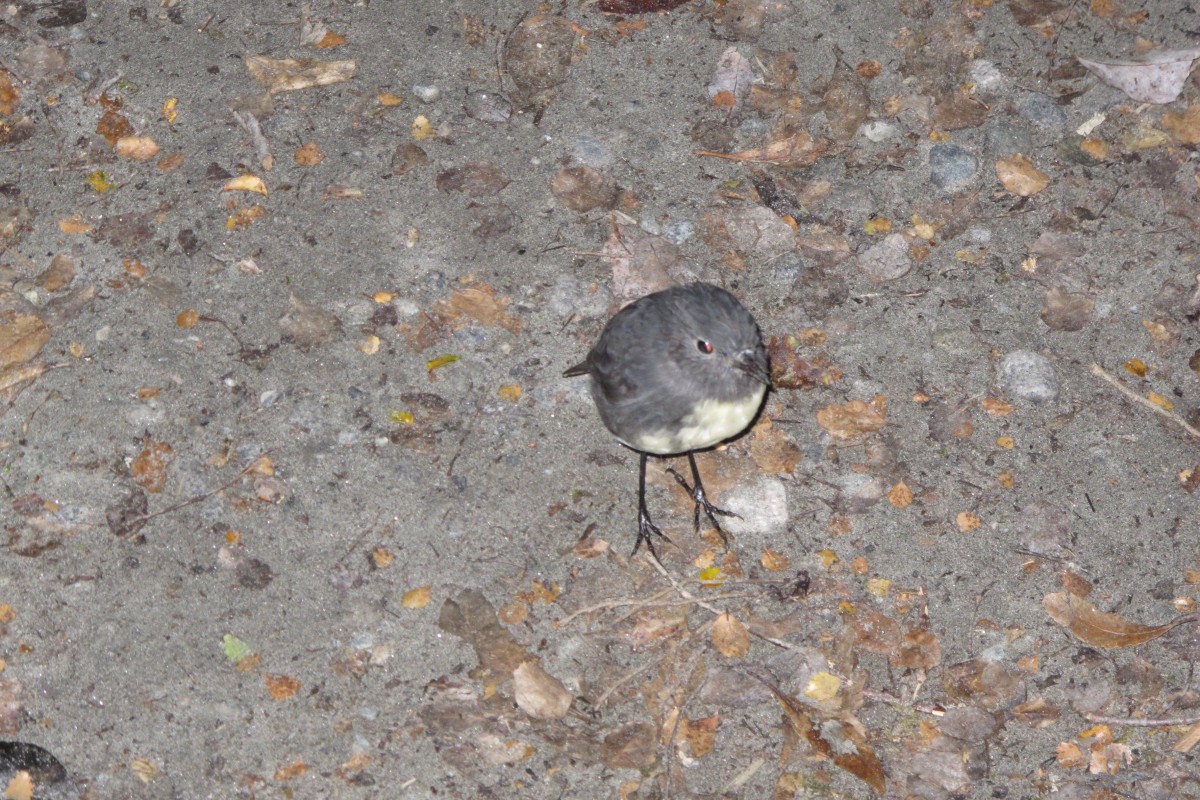
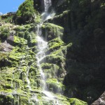
Another sighting was a bell bird.  We had heard them often during our NZ trip but, try as we might we had never been able to catch sight of one. This one was calling against another so perhaps he was a big less wary.  Even so, it was difficult to get a photograph through the foliage.

image
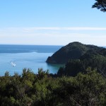
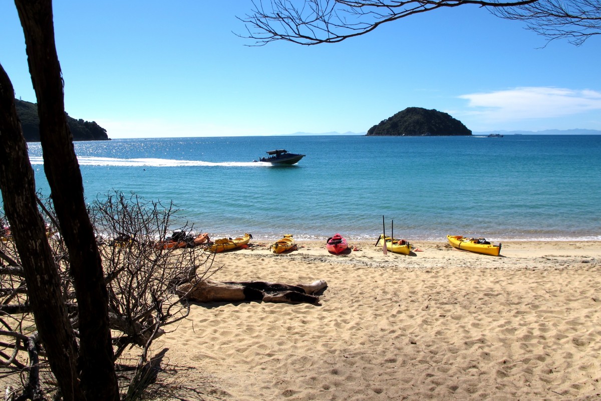
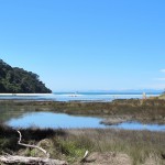
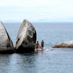
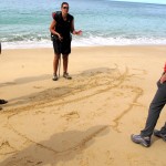
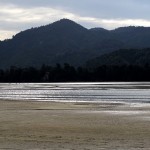
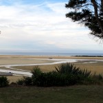
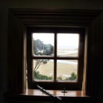
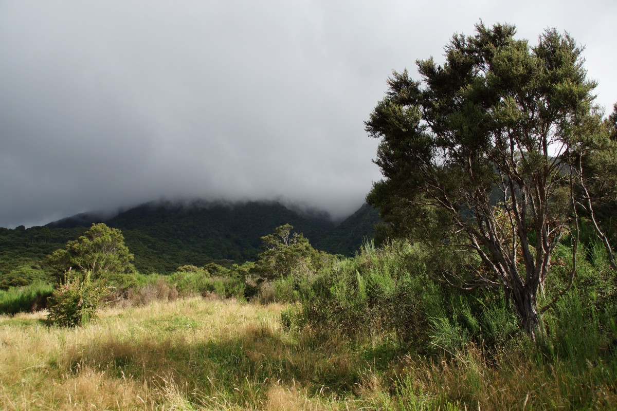
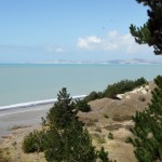
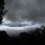
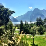
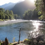
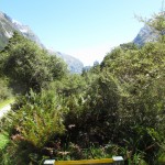
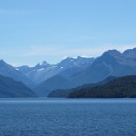
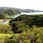
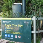
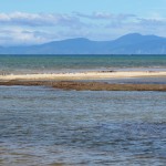
As we walked on towards Apple Tree Bay, which was to be our lunch stop, Adele Island came into view.  This was named by the French explorer Dumont D’Urville after his wife.  The island is said to resemble a reclining woman wearing a dress and crinoline. Not easy to see! Start on the left.

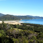
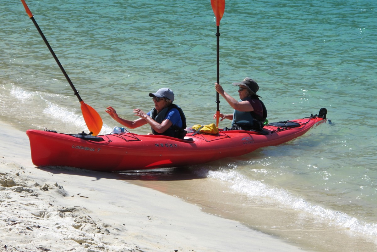
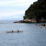
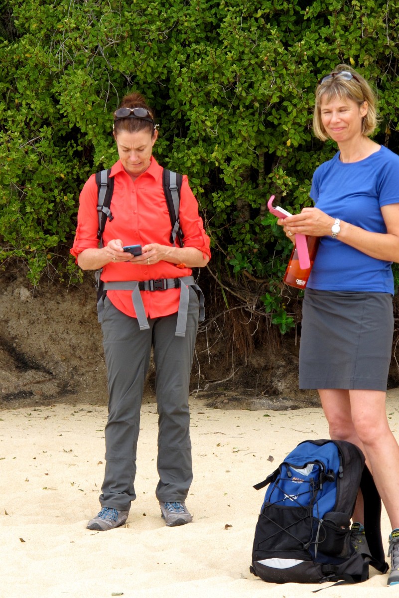
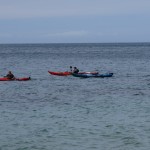
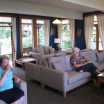
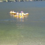
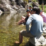
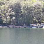
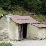
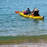
At Apple Tree Bay we were joined by again by Anna and Michelle, her kayak guide.  The beach was well served by an excellent example of the NZ “long drop”. After lunch our kayakers set off and paddled all the way to Kaiteriteri.

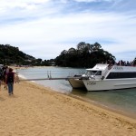
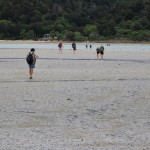
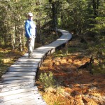
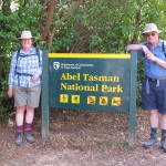
The walkers aimed for the edge of the Abel Tasman national park at the North end of Marahau bay.  Where there is a café which is a convenient place to wait for the coach back to Motueka. We all took the opportunity for a snack.


L to R. Dave, Sue, MaryAnn, Michelle, Anna, Paula, Jane, Jim, Renee, Curtis, Connie
Walkers and guides by the coach

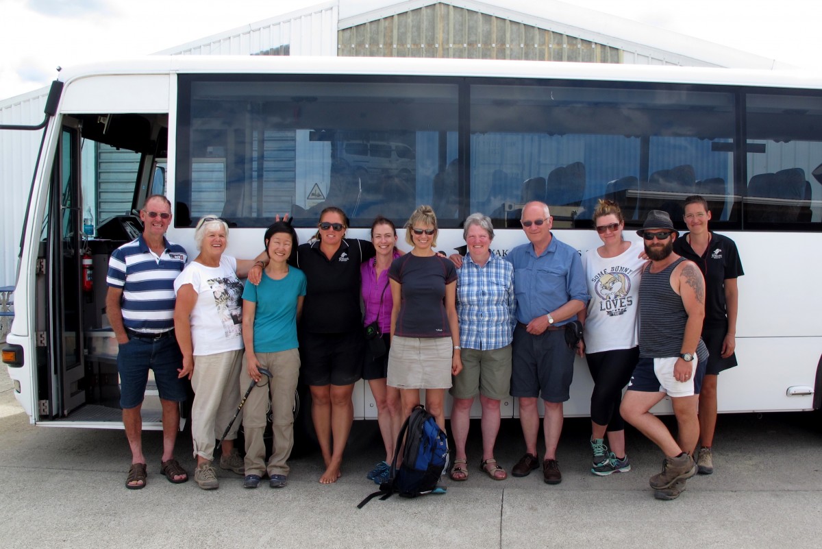
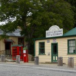
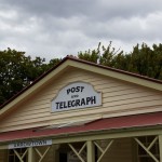
On the way back to Motueka we were dropped off in Riwaka to pick up our cars which were unharmed.  At Wilsons we handed back borrowed items, settled bar bills, had a final photo and then went our separate ways. We followed the coach back to the outskirts of Nelson, where we lost sight of them and then drove to Picton where we were to catch the Interislander ferry the next day.

When we got to Picton we went down to the ferry terminal to check out car return and boarding arrangements.  Everything was shut but we could see what we needed to do.  The motel was fine.  Unfortunately the restaurant was temporarily shut so we braved the cold wind to walk down to the supermarket to buy supper.

Picton
Picton
Total distance: 13434 m
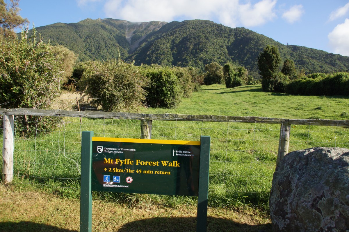
Total climbing: 367 m
Total descent: -373 m
Total time: 05:19:34

Abel Tasman – Awaroa to Torrent Bay

The forecast for our second day’s walking was good.  And when we went outside the view across the beach seemed to promise a perfect day.

We set off in waves.  Our two steady walkers wanted to start early.  Their plan was to walk to Tonga Quarry beach and to catch the boat from there to our next overnight stop at a Torrent Bay.  This would give time to relax before the rest of us arrived and would avoid the suspension bridge over Falls River. Connie briefed them on how to stay on track and off they went.

The rest of us followed.  It was soon clear that the younger members of the group were keen to push on.  Connie stayed with we oldies and so we almost had our own dedicated guide.

The walk started upwards to take us over Tonga Saddle to Tonga Quarry.  It included what Connie described as “a bit of a toughie”. Nothing like the steep bits of the Milford though. As we got towards the top the views both forward and looking back towards Awaroa were spectacular.

The track down from the saddle reaches the beach at Tonga Bay via a bridge and a board walk. Here we saw another Weka and a couple of busy Oyster Catchers.

By the time we got to Tonga Quarry Connie reckoned that we should have caught up with our steady walking group.  At the Quarry beach is a shelter with basic catering arrangements.  Here we met up again with our faster

Canoes waiting at Tonga Quarry

walkers. There were also a number of Wilsons’ kayak instructors who were to guide Anna, one of our group, in a kayak to Torrent Bay and also to shepherd some of a five-day walking group. They had been on site for some time but they had seen nothing of our two.  Connie radioed the lodge to make further enquiries and, as there was little else we could sensibly do, we continued our walk.

From Tonga Quarry the track went up again, over another hill, and down

Kayakers join for lunch at Bark Bay

to Bark Bay and met up with our “steadies”.  They had been walking well and decided that they might as well walk the whole track. I’m sure Connie was relieved to see them. We had lunch there and were joined by the kayak group.

After lunch the scenery just continued.  We crossed the swing bridge at Falls River then looked down at Frenchmen’s Bay which all the guides we spoke to reckoned was the prettiest spot on the Abel Tasman. Connie showed us an Easter orchid plant. Then, eventually, we were able to look down at our destination, Torrent Bay and Torrent Bay Lodge, our stop for the night.

image
Our room in Torrent Bay Lodge

Again the Lodge was very pleasant and we had a room in the main house. The water in the bay in front of the house was shallow.  When we went in to swim we had to walk out a good distance before we could float easily.

Total distance: 19064 m
Total climbing: 690 m
Total descent: -716 m
Total time: 07:31:35

Abel Tasman – Motueka to Awaroa Bay

We had a leisurely start to our walk. Most of our group were being brought by coach from Nelson and would not arrive until about 1130 so we were able to have a bit of a drive around and look at the scenery.

We arrived well before we needed to and met Connie who was to be our excellent and long-suffering guide for the walk. We dropped the hold-all. When the others arrived they got sorted out and back on the coach which set off towards Kaiteriteri from where the boat would take us to the start of the walk. We hopped into the car and followed to Riwaka where we parked in a small town car park with Connie parked behind us. This arrangement is apparently safer than leaving cars parked in Motueka.

We joined the coach which set off again to Kaiteriteri where we had lunch while waiting for the boat. We were ten in the group, a much smaller number than we had on the Milford Track, enough for one guide to handle. Also much easier for people to get to know each other.

The boat arrived. It was fitted with a clever extending gangway which allowed easy access when the boat beached. We, and others, embarked and the boat set off along the coast calling in at a number of beaches where people, mostly on short walks, disembarked or boarded.

The skipper provided a commentary and visited points of interest such as Split Apple Rock and Tonga Island to allow passengers to see seals.

We landed at Totaranui, the furthest point on the boat’s schedule, and set off on the track. We were a group of multi-speed walkers. The young who keenly pushed ahead, middle paced and those who were happy to make steady progress. I think it was a bit difficult for Connie who wanted to tell us about the flora, fauna and a bit about the geology of New Zealand.

image
Connie talks plants

Quite early on the walk, when we were all walking together, Connie took those who wanted for a short detour off the track where there was an amazing tree, growing horizontally, along which people could climb, and delivered an ecology lesson there.

In Goat Bay the track runs across lovely golden sand and Connie made good use of this to show how New Zealand is affected by the movements of the tectonic plates.

imageAs we walked into the Abel Tasman National Park we were told that we would be moving into an area with very limited mobile signal. Those of us who were used to being in contact used every fleeting opportunity until the signal was lost.

As we walked along the beach, before climbing up over a large rock with s line of granite running through it (another supporting prop for Connie to tell us more about geology) we met a woman coming towards us, carrying a kayak paddle.  Later we saw what must have been her kayak being towed by another. We never did find out what the story was.

The approach to Meadowbank Homestead at Awaroa, the lodge we stayed in on the first night, is across a tidal creek. We had to wait until the water had receded far enough to make it safe to cross. Depth of water wasn’t the main issue; the strength of the ebbing tide was surprising. It tugged hard even when we were only calf deep.

The Meadowbank Homestead was originally built by William and Adele Hadfield in the 1880’s.  It was rebuilt in the late 20th C by their great granddaughter to be a lodge for those on the Abal Tasman with Wilsons. In addition to the house there are more rooms at the back.  Like the lodges we stayed in on the Milford Track it provided an excellent level of service.

The view from the front of the house overlooked the beach and was stunning.  Our room was at the front and even the bathroom window looked onto the bay. Another contender for “best view from the room” I think.

Total distance: 8312 m
Total climbing: 289 m
Total descent: -282 m
Total time: 03:37:54

Marlborough and the wine country

Before setting off to our next stop-over at Renwick near Blenheim we wanted to do another short walk just to keep in practice. Jane had found the Mount Fyffe Forest Walk in the approaches to Mount Fyffe, a few miles outside Kaikoura which DOC classify as medium, 2.5 k in length and taking about an hour and forty five minutes. We drove out to the parking area along a long, straight road which became a dirt track and put our boots on. Underneath the DOC sign was a piece of paper which said “This walk is not easy . It is mostly uphill. It is 3 km and takes 2 hours”.

Well, the first part was definitely uphill. Over a style, up a field, over another couple of styles and into a wooded area. Looking back at the top of the field gave a

great view back down the road. We climbed on up a pretty well maintained path until it joined a circular track. Which way to go? We decided to walk clockwise (we usually do). As we followed the path up we expected it to break out into a viewing point or other open area. It didn’t. Instead, at the top it just turned downhill. We thought the pitch on that section was steeper than our climb which had been fairly gentle. As we descended the cloud came in on the mountain.

image

Back down after just over an hour on the track we took an inland detour before rejoining SH1. At about lunch time we reached Seddon where we stopped in a little supermarket to get the makings of a salad. We also bought a pack of three metal forks (there were no plastic ones on offer).

We turned off SH1 in Seddon and drove for several kilometres on a road following

signs for “sea view”. The way took us through vineyards (Yealands and Brancott). Eventually we left the metalled road and took to a track which ended outside a farm drive after a kilometre or so.

We parked up in the shade of some pine trees, had a quick explore and then lunch. Ranch salad with only a fork to eat it is interesting. After lunch we walked through a gate and on a few hundred meters to look down on a beach which stretched back towards Cape Campbell.

On the way from Seddon to Renwick we passed over a bridge over the Atawere River. This was a fairly modern affair and it ran parallel to the old one. At the end was a viewpoint so we stopped for a picture. The old bridge served both rail and road, the tracks running above the highway.

As we had a bit of time in hand we decided to take a scenic detour. It was a yellow road on the map so should have been tarmac throughout. It wasn’t. The centre section was dirt and very twisty. Thankfully, again there was no traffic in the opposite direction. We did, however, see a passenger train (excursion as it had a dedicated viewing car).

We had timed our arrival in Renwick for just after 3 pm which we had found was the usual B&B check in time. Anglesea Lodge checked in after 4.00 so we drove into Blenheim to visit the iSite and have a cup of coffee. We parked in Seymour Square, a lovely public space. Great excitement. Seymour was the business partner of one of the people in Jane’s family tree. We walked round town and to the iSite followed by coffee.

Checking in after 4.00 we had a walk around to orientate ourselves. We decided supper should be at the Cork and Keg, the local “English ” pub. When the time came we had a good meal there. Initially we sat outside but when it got cold we went in and braved the Sky Sports.

Total distance: 3375 m
Total climbing: 281 m
Total descent: -275 m
Total time: 01:07:50


Milford Track – Day 4

Day 4 is a 21 km walk out from Quintin Lodge, following the Arthur River.  We were a bit stiff and sore after the previous day but started out in the first group with team NZ/USA (Robyn, Stu and Steph) and led by Fumi.  The cloud was down in the valley and we were going at what we thought was a good pace until Fumi said that she needed to go ahead to prepare the morning break point at Boatshed.  We kept going but she just shifted up a couple of gears and soon disappeared over the horizon.

The track was generally well maintained and we soon came across evidence of the work put into this (although the wheelbarrow was a little incongruous).  However, all this effort does not make the track immune from the effects of nature and we had to negotiate a jumble of fallen trees brought down by a land slip.

Boathouse is just that, an old boathouse converted into a shelter for walkers.  It is well equipped, if Spartan.

While at Boathouse, Barry, our fishing fanatic, set out once again in search of the trout which had eluded him. He had carried his rod, flies and other equipment for the whole time, fishing on a number of occasions but without success. On this occasion he set out wading towards a spot where his land-based helpers had located a target.  We didn’t stop to watch but the rumour was that he had been successful. If so, he must have returned the fish since nobody appears to have seen it.

Barry
Barry


We moved on, back over the Arthur River and to Mackay Falls, alongside which sits Bell Rock.  This is hollow and it is possible to get inside by crawling in from the front.  The guide says you can stand. I couldn’t.

Just after we left Mackay Falls we came across a weka (pronounced wikka by the locals). Again this appeared unafraid, taking a close interest in Jane’s boot laces. A little further on, before we got to Giant’s Gate, the clouds parted briefly and Mitre Peak, which dominates Milford Sound was visible.  A photograph was taken in case this was the only opportunity.

From Giant’s Gate the track becomes easy, skirting the sides of Lake Ada and opening out to a double width in the last couple of miles.  We reached Sandfly Point, the end of the track, in very good time and so we had to wait until the booked time for the boat.  Fortunately the hut provided shelter from the large number of sand flies from which the area gets its name.

Done. Phew.
Done. Phew.


We boarded the second boat which sped us across to the village of Milford Sound.  A spectacular journey with Mitre Peak ahead in bright sunshine.  Into the final lodge.  Our room was at the front with a great view of the peak.  A bit of a rest followed by a evening to celebrate with the guides and our fellow walkers.

Milford Track – Day 3

Day 3 of the track is the hardest.  The walk is 15 km from Pomplona Lodge up and over the Mackinnon Pass then down to Quintin Lodge.  The top of the pass is at 1154 m and the climb and descent are about 800 m and 1000 m respectively.  It’s the down that is the real hard going.

We set off in shade but it was clear that we were going to have another cloudless day; there is no cover from the sun above the tree line.

The track climbs consistently from Pomplona; at about the 12 miles mark (there are posts every mile from Glade Hut) there is a short, steep stretch which is called Practice Hill which reflects the pitch on the main climb.  A comparatively gentle stretch follows Mintaro Hut and the the track starts to zig-zag steeply up.  It continues for two miles.  The guide book says helpfully “at the 15 mile marker you are half way up”.

It took us time to reach Mackinnon’s Memorial which is on the saddle about 100 m below the top of the pass.  It was built by Mackinnon’s rugby club colleagues, carrying the cement all the way up.  There our guides provided very welcome hot drinks while we took a bit of a rest.  We haven’t tasted Milo for many years.

Our movements were kept under surveillance by a couple of keas, the NZ Alpine parrots. According to the guides these intelligent birds move up and down the track to wherever they think a walking group which could give them the best chance of a free meal might be.

Even when you get to the memorial you are not at the top.  It is about another half hour’s walk and 100 m climb.

The way down is steep and rocky.  You have to be thinking all the time about where to tread. It was hard going, in full sun for most of the time, and we were very glad to reach Quintin Lodge.  The one easy section is when the track descends about 200 m by way of a series of staircases at the Cascades.  We declined the optional hour and a half round trip to the Sutherland Falls on hearing that there was a long, steep section.

The lodge, like all the others on the track run by Ultimate Hikes had washing facilities and a drying room, fed somehow with waste heat from the lodge generator, which was very hot and dried clothes very quickly. Our clothes needed a good wash.

Milford Track – Day 2

Day 2 was probably our favourite day on the Milford Track.  It was a 16km hike up a fairly gentle gradient.  Much like our usual day’s walking in UK.  By accident, we set out as part of the first party to leave the lodge, crossing the swing bridge over the Clinton River in the cool of the morning.  We entered the Beech forest.

NZ robin
South Island bush robin

Soon our first South Island bush robin flew over to investigate us.  Fearless of humans, they hope that you will disturb the ground and give them access to food. This one didn’t seem phased when my camera flash went off by accident.


Walking on at the side of the river we were lucky to see it bathed in bright morning light.  Then we came to an area called the Wetlands where this environment has been carefully preserved and a board walk built to protect it from people walking on it. Leaving our packs, which is an indication to guides and other walkers that you are off the track at that point, we took a short detour to have a look.

The track continued by the river which provided great views up to the point where it split into two branches, North and West.

The track goes up the West branch, past the Dead Lake which was formed when a land slip dammed the river.  We stopped at Hirere Falls hut for lunch. The associated “Long Drop” is a good example of that useful NZ construction.  Very soon after leaving Hirere we were given our first view of Mackinnon Pass which was our objective for the following day.

A couple of kilometres from the lunch stop was Pararie Lake which was deep and warm enough for the brave to take a swim. We had a paddle!

After the the pool it was just a short walk to Pomplona Lodge where we were to spend the night.  But before we got there we had to cross an area where a big rock slide had obliterated the track.  Not too difficult if you followed the orange DOC marker posts.


Milford Track – Day 1

The first day on the Milford Track guided walk is obviously designed to break you in gently. Ours started early at 8.30 when we all reported at the Station Building in Queenstown to meet three of our guides, Brit, Fumi and Isaac.  Then, in what must be a well rehearsed operation, all the backpacks, extra equipment for the final night at Milford Sound and the walkers themselves were packed swiftly into the coach.

Mossburn stag
Mossburn stag

We then set off for the Te Anau, via Mossburn for a comfort stop.  Mossburn is said to be were the red deer industry started in New Zealand and this is commemorated by a sculpture of a stag in the centre of the town. From Mossburn we went on to Te Anau where we had lunch before moving finally in the coach to Te Anau Downs, on Lake Te Anau, where we were joined by Andrew, our fourth guide, who had just completed a walk with another group.

We all went onboard the launch which was to carry us up to the jetty at the head of the lake.  On the voyage we passed a small islet on which was erected a cross.  This was in memoriam to Quintin Mackinnon, the man who found the pass through which the track runs, who disappeared in about the same spot.

Having landed at the jetty we walked just under a mile to Glade House which was our lodge for the first night.  Group photograph taken, we split into smaller parties and were taken on nature walks to explore the surrounding area. We declined to take part in the group which was going to swim in the river. It looked far too cold.

Back at the lodge we enjoyed an excellent dinner, getting to know other walkers.

Wanaka – Queenstown

We had decided to take the short cut, the Cardrona Pass, from Wanaka to Queenstown for three reasons – speed, scenic value and the fact that Cardrona in the Scottish Borders is no distance at all from where my parents used to live. Before we set off we walked the track over Mount Iron, which is just outside Wanaka, in order to keep in practice. Just under 5k but a bit of climb and descent and great views.

The drive through the Pass was worthwhile. Cardrona is a well preserved little halt, worth a photo or two. The scenery on the drive is excellent and there are plenty of stopping places, particularly as you pass down the Crown Range Road at the end of the journey.

On the way into Queenstown we stopped off in Arrowtown.  This is a well preserved small settler community from the time of the gold rush and well worth a visit.  It documents quite clearly the differences in the circumstances of the European miners and the many Chinese who came to the area to work in the gold fields.

Queenstown is the liveliest place we have been to in New Zealand so far.  It is very much holiday town.  Every open air adventure is catered for.  There were a lot of young people and families enjoying themselves. But that wasn’t what we were about on our first visit there.  We had come to start the Milford Track and so our focus was on preparing for that.

We joined 45 other walkers at Ultimate Hikes HQ at 4.45 that afternoon.  We were briefed to within an inch of our lives, leant equipment like larger rucksacks which we might not have brought and given the opportunity to buy other stuff which might be useful. I succumbed to a pair of slip on rubber slippers for use in the lodges; the sandals I had brought for this had proved to rub badly. Then back to the apartment for dinner and a re-pack.

Total distance: 5110 m
Total climbing: 294 m
Total descent: -299 m
Total time: 01:31:46

Hangers Trail – Day 2

After the previous day’s bright, crisp walking, listening to the wind and rain overnight we knew we were in for something different . Looking out of the window in the morning confirmed this.  But we were fed a very hearty breakfast which fortified us for the day ahead. The Hawkley Inn had lived up to our expectations from previous visits. Recommended for a meal or a stop-over.

IMG_8246
Looking back down Weatham Hill

Well wrapped up against the weather, we set off South from Hawkley, only pausing to collect our gloves which we had left inside. After Oakshott there was a steep climb up Weatham Hill. Wet and misty at this point.


IMG_8247

This continued as we turned at the top of the hanger rounf towards Shoulder of Mutton Hill. Descending from there wasn’t fun – the chalk under the top soil was very slippery.


Sanctuary under the lytch gate at Steep
Sanctuary under the lych gate at Steep

The track took us down through trees with quite a substantial stream running through into a series of ponds and on down to the Oakhurst Farm area. In summer it would be very pretty; at this time of year you can see why it might be difficult to get flood insurance.  Then up through a muddy wood until we reached Steep where we took shelter under the lych gate to have a quick snack. The parochial dust bin was useful too.


Steep took us down past Bedales School which looked pretty quiet. The only people we saw were what looked like a couple of the cooking staff having a cigarette near the path, at the edge of the school grounds.

A3 Southbound
A3 Southbound

Over the A3 and into Petersfield – still raining. Once in Petersfield the signs for the Hangers Way stopped so we went into the tourist information office (aka the library) to ask for directions. Having said that we had the standard brief description of the route we were given directions. The woman said that it would be muddy. Can’t be worse than what we have done already we said.  Wrong!  We waded through mud and standing water and after several hundred yards realised that we were not on the Hangers Way. After reading the map, more wading and moving some Herras fencing we eventually regained the right track.

The walk up the valley to Buriton was not pleasant. It was along the side of a slope and very slippery. But the village itself is lovely. An old manor House, church and pond. A sunny day would make it perfect.

It took a short detour and a kind driver to put us on the right track but it was then a fairly simple walk to the Country Park. Here we were met by a knight in shining BMW, our friend

Thanks for the lift squire
Many thanks for the lift squire

Mark Harvey who (after we had removed boots and other mud-caked clothing) fed us coffee and cake before transporting us to Petersfield station to catch the train back to Guildford. He would have taken us home if we hadn’t already bought the tickets.

IMG_8256


Of course, the sun came out!!


Total distance: 0 m
Total climbing: 0 m
Total descent: 0 m

From the map

Total distance 15.7km

Total Climb 369m

Total descent 402m