Wine by bike

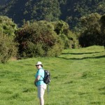
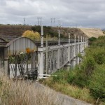
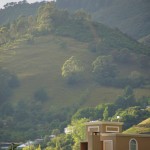
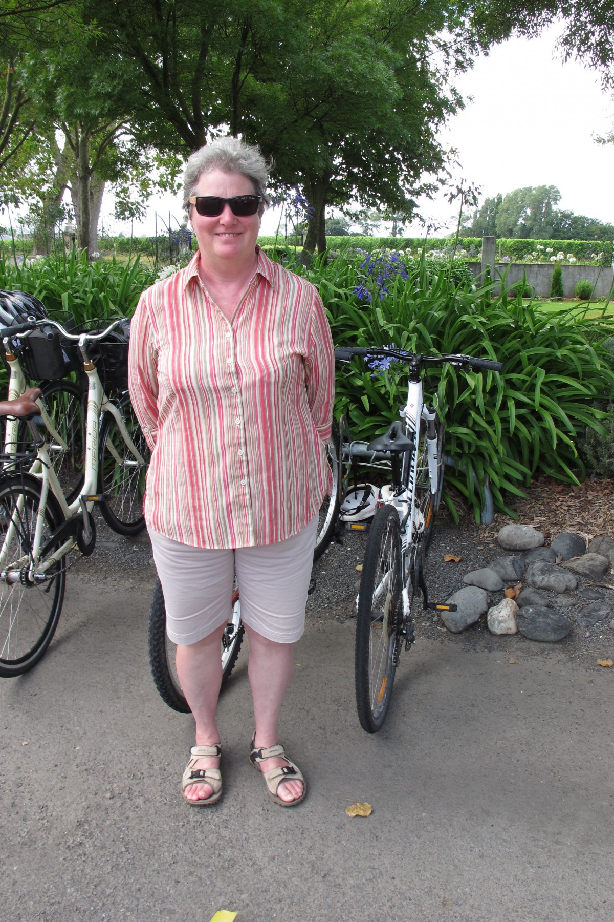
Our stay in Renwick was planned to allow us to tour some of the vineyards of the Marlborough region. We had booked the bikes belonging to the B&B and so, in the morning, we made their acquaintance. They were very like what we have at home, off-road capable with front suspension. They didn’t have gel saddles as fitted to Jane’s bike at home. Once we got going we also discovered that the brakes on the bike Jane was using were only just adequate.

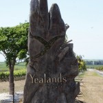
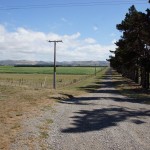
We had been given a couple of maps showing the local vineyards and, guided by my acute sense of direction we set off confidently towards Alan Scott which an American couple who were also staying in the B&B had recommended very highly. Having cycled for twenty minutes or so without meeting a road which was named on the map I was prepared to accept that Jane’s nose for the ground, acquired through many years of riding over Dartmoor, was probably correct. This was confirmed when we hit a road which the map said would take us across to where we wanted to be.

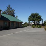
The weather was hot and humid so we pulled into a cafe complex which indicated that it had bike hire facilities. This could be the opportunity to get a key and adjust Jane’s bike breaks. Unfortunately the bike hire was shut but it did give us a pit stop and a bit of a rest.

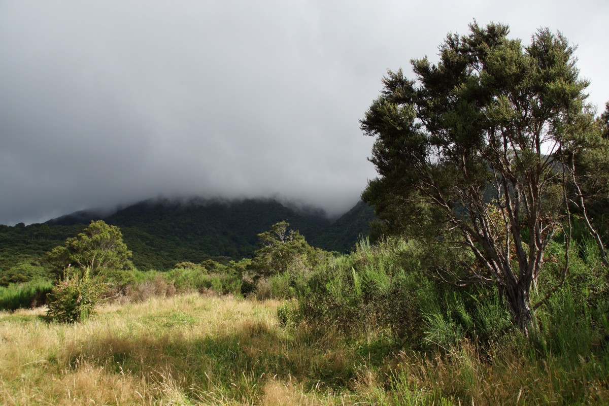
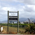
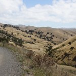
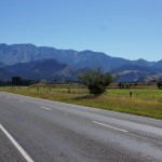
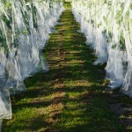
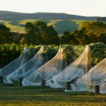
We then rode for several kilometres along SH62 which was slightly unnerving with vehicles passing, even if there was a good hard shoulder for us to ride on. Turning down the road towards Alan Scott it was another two kilometres before we reached our destination.

image
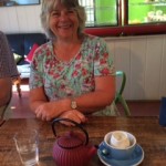
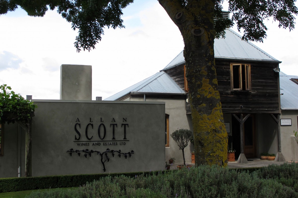
We had timed things pretty well. Just in time for a wine tasting session before lunch in the attached restaurant. We tasted (free) the cave’s range of white and red plus a couple where the winemaker had let the wine lie on “innovative” materials (hops and chilli) to add flavour. Interesting! We bought a bottle of nice Pinot Noir for later.

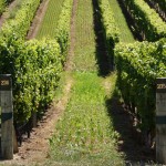
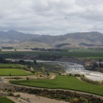
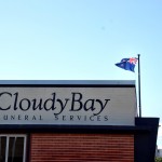
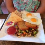
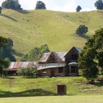
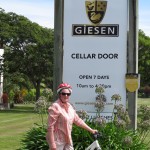
Lunch was excellent. We then mounted up again and popped over the road to the image
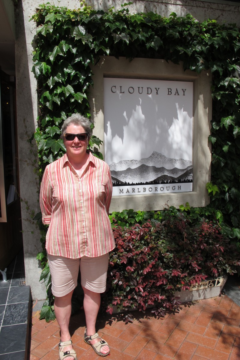
Cloudy Bay cave. This was much more commercial. There were three ranges to taste – standard, better, and upmarket, priced accordingly. We went for the middle range and enjoyed them but didn’t buy. Majestic stock them.

We now had to get back to the B&B. We hadn’t drunk anything like enough wine to numb the nether regions against saddle ache. The weather was still hot and we were getting tired so we decided against further wine tasting and peddled back with fairly frequent rest stops. As we left CloudyBay we passed the Moa brewery which is part of the Alan Scott operation.

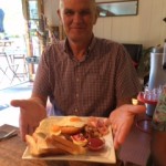
When we looked at the satnav we found that we had covered about 20 kilometres. We felt like it so we had a shower and rest before retiring to the Cork and Keg for a pizza.

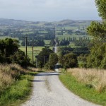
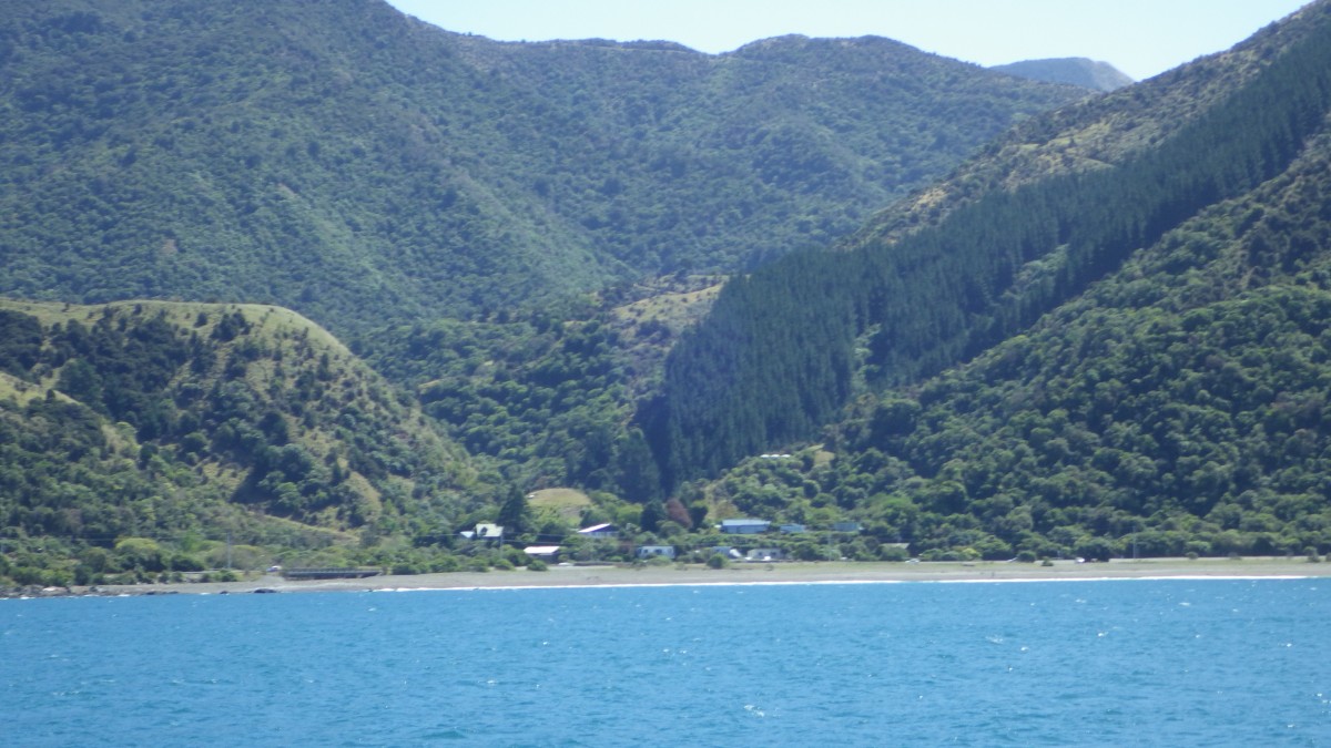
This is the return cycle route.  We rode a very similar one out.

Total distance: 10076 m
Total climbing: 165 m
Total descent: -166 m
Total time: 01:29:57

Marlborough and the wine country

Before setting off to our next stop-over at Renwick near Blenheim we wanted to do another short walk just to keep in practice. Jane had found the Mount Fyffe Forest Walk in the approaches to Mount Fyffe, a few miles outside Kaikoura which DOC classify as medium, 2.5 k in length and taking about an hour and forty five minutes. We drove out to the parking area along a long, straight road which became a dirt track and put our boots on. Underneath the DOC sign was a piece of paper which said “This walk is not easy . It is mostly uphill. It is 3 km and takes 2 hours”.

Well, the first part was definitely uphill. Over a style, up a field, over another couple of styles and into a wooded area. Looking back at the top of the field gave a

great view back down the road. We climbed on up a pretty well maintained path until it joined a circular track. Which way to go? We decided to walk clockwise (we usually do). As we followed the path up we expected it to break out into a viewing point or other open area. It didn’t. Instead, at the top it just turned downhill. We thought the pitch on that section was steeper than our climb which had been fairly gentle. As we descended the cloud came in on the mountain.

image

Back down after just over an hour on the track we took an inland detour before rejoining SH1. At about lunch time we reached Seddon where we stopped in a little supermarket to get the makings of a salad. We also bought a pack of three metal forks (there were no plastic ones on offer).

We turned off SH1 in Seddon and drove for several kilometres on a road following

signs for “sea view”. The way took us through vineyards (Yealands and Brancott). Eventually we left the metalled road and took to a track which ended outside a farm drive after a kilometre or so.

We parked up in the shade of some pine trees, had a quick explore and then lunch. Ranch salad with only a fork to eat it is interesting. After lunch we walked through a gate and on a few hundred meters to look down on a beach which stretched back towards Cape Campbell.

On the way from Seddon to Renwick we passed over a bridge over the Atawere River. This was a fairly modern affair and it ran parallel to the old one. At the end was a viewpoint so we stopped for a picture. The old bridge served both rail and road, the tracks running above the highway.

As we had a bit of time in hand we decided to take a scenic detour. It was a yellow road on the map so should have been tarmac throughout. It wasn’t. The centre section was dirt and very twisty. Thankfully, again there was no traffic in the opposite direction. We did, however, see a passenger train (excursion as it had a dedicated viewing car).

We had timed our arrival in Renwick for just after 3 pm which we had found was the usual B&B check in time. Anglesea Lodge checked in after 4.00 so we drove into Blenheim to visit the iSite and have a cup of coffee. We parked in Seymour Square, a lovely public space. Great excitement. Seymour was the business partner of one of the people in Jane’s family tree. We walked round town and to the iSite followed by coffee.

Checking in after 4.00 we had a walk around to orientate ourselves. We decided supper should be at the Cork and Keg, the local “English ” pub. When the time came we had a good meal there. Initially we sat outside but when it got cold we went in and braved the Sky Sports.

Total distance: 3375 m
Total climbing: 281 m
Total descent: -275 m
Total time: 01:07:50


Dolphin Encounter

The alarm rang at 4.00 am and we got up, had coffee and a biscuit before driving into Kaikoura to book in for the 5.20 departure. The wind was still blowing. After a short wait outside the Encounters office we were all let in. The news wasn’t good. Conditions were forecast as a strong swell with wind-blown waves on top. Not sure whether the trip would go ahead. If it did, swimming was only recommended for confident sea-swimmers. After a bit of discussion, we decided that this probably didn’t include us and so we elected to cancel and returned, disappointed, to bed.

Later in the morning we went down to the Encounters office to process our refund. But we did want to see the dolphins so we asked if there were any places for viewing, not swimming, on the 12.30 boat. There were places and the weather was forecast to be better so we booked and went off to coffee and shopping.

Check in for the 12.30 boat was at midday. On the way down we saw these magnificent trees and couldn’t resist the photo opportunity.

Before the trip set off swimmers changed into wet suits and all going on the boat were briefed. Then we were bused down to the boat at the port in South Bay.

Kaikoura canyon landward side

In the sea to the South of Kaikoura is an area called the Kaikoura Canyon which is an extension of a volcanic fault on land. Upwelling of water in this area brings up nutrients which sustains a food chain with the dolphins near the apex. A good place, then, to look for them.

The boat went out at speed to this area and we were soon among dolphin groups. The process used to give the swimmers the best opportunity of seeing dolphins in the water was for the skipper to manoeuvre the boat in front of an advancing dolphin pod then stop and drop the swimmers in. The swimmers then attempted to attract the dolphins’ attention by making noises and performing. This was very funny at times but the dolphins seemed to enjoy it. Once the dolphins had moved past the skipper sounded the boat’s siren to summon the swimmers back onboard before setting off for the next drop.

Look hard and see the albatross

We spent over an hour with the dolphins and had a really great afternoon. We saw mostly dusky and some common dolphins and lots of sea birds including albatrosses. In retrospect it was probably best that we didn’t swim. But next time we have the opportunity we will practice snorkelling first and give it a go. One down side was that we didn’t make it to Nin’s Bin.

Off to Kaikoura

The next day Jim and Sheila were to return to Nelson so Sheila could fly to Australia to see their daughter, Laura and her family. We would make our way to Kaikoura to meet the dolphins. Before leaving we all needed to be well fortified so it was off to Mumbles cafe where Jim and Sheila had eaten well in the past. We walked through the grounds of the old Queen Mary hospital, established during WW1 for shell-shocked servicemen, which was closed in 2003. It was a beautiful morning and the buildings looked ready to inhabit. Hopefully the local council will find a developer who can treat the site sympathetically.

On reaching the cafe it was a full NZ for three of us while Sheila (or was it Miriam Margolyes?) had the veggie equivalent.

We were full when we walked back to the motel, through a small market, to check out from the motel.

Braided river
Braided river

It had been really great to see Jim and Sheila again after such a time and we had thoroughly enjoyed our time with them but all good things come to an end and so we had to say farewell and turn towards the coast again, down SH7 then Scenic Route 70.

It was still a glorious day when we reached Kaikoura. Before checking in to the new motel we decided that we would drive to the Southern end of the bay where we climbed up to a lookout which allowed us to see the strata in the rocks below and an area opposite which had been a Maori pa site.

We also thought that we should confirm the arrangements for our dolphin swim in the morning. We signed the usual disclaimers and were told that the weather would be generally OK but there might be a bit of a lop. Motion sickness pills might be an idea. So we went into town to buy some at the pharmacy. It was shut – at 1.30 on a Saturday afternoon, having closed at 12.30.

OK. No worries as they say here, the Internet showed a possible pharmacy in Clarence, about 20 k North of Kaikoura. We would investigate that and also look at young seals at Oahu as recommended by Jim and Sheila. Got to Clarence and drove straight through. It was effectively nothing more than a caravan park.

On to check out Nin’s Bin, a caravan on the shore which sold large crayfish, where we planned to lunch the following day. Quite pricey (over $100 for a big specimen) but it had been recommended by Ant and Sue.

The woman in Nin’s Bin confirmed that the seals were about another 5k up the road. We drove on and stopped opposite the entrance to a track which leads up a stream to a pool and waterfall. At the right time in the season seal pups make

their way up to the pool and stay there for a time while their mothers are hunting at sea. We walked up the track. Not a pup in sight. Clearly the wrong season (subsequent investigations show they go up in the winter). However, a lookout point very close to the parking for the track gave an excellent view over rocks and pools where pups gambolled while mums watched.

Yes they are that close

Cooked our own supper followed by an early night since we had to be back at Dolphin Encounters at 5.10 the following morning. We hoped that the trucks which passed within 15 m of our room on a bend in SH1 wouldn’t keep us awake. In fact, there was more noise from the wind.

Hanmer Springs

Hanmer Springs is a spa town, catering for tourists summer and winter. After a bit of rain during the night, when we wake there is a rainbow in the sky. Hopefully it will reman sunny.

image

We had decided that we would devote today to the hot springs so, shortly after 9.00, we grabbed swimming gear and the towels thoughtfully provided by the motel and made our way there. Too early! They don’t open until

Oops. A bit early I think.

10.00. So we wandered over to a little souvenir shop where we had seen something the previous evening. It too was shut and a notice in the window said that it was shut all day due to church attendance. On a Saturday?! So we wandered around a bit to kill time.

Back at the springs just before 10.00, all ready to go. One minor problem. I thought Jane had both our swim suits. That’s not the case so it’s a rapid walk to the motel and back for me. Even so, we are among the first into the complex. As we are neophytes at all this we follow Jim and Sheila into pools of different sorts – warm, hot, shower, bubble, sulphurous. Even the one where the water is circulated round a track and you are swept along clutching a floating board. Everything is very clean and well presented, which is apparently not always the case.

Eventually we decide that we have had enough so we leave and go back to the motel to return the towels. Then off to buy sandwiches and other bits for lunch before we launch the car at a gravelled road up towards Jack’s Pass and the Clarence Valley road.  This is a bit of a worrying drive as the road is narrow and twisting. Not quite sure what will happen if we meet a mad Kiwi driver coming the other way. Fortunately we don’t and we arrive safely at the top where we stop for our picnic. As it is blowing hard we stay in the car.

When we are back down it is time to use some more of our all day entry fee to the spa. We pick up more towels (the motel appears to have an endless supply) and make our way over to repeat the process. On leaving we discover that the sand flies have been attracted to the bits of Jane which have remained above water. Towels back to the motel and off to the pizzeria (which just happens to be part of the Irish pub) where we eat one more pizza than necessary.

There are no photographs taken inside the spa in order to preserve participants’ modesty.

Road to Hanmer Springs

The following morning we drove over to Jim and Sheila’s.  Before the dogs went to the kennels they were taken down for a walk on the salt flats by the bay. This was new walking ground which Sheila had only recently explored. We found that it was difficult going in the wet, muddy and slippery.  So the walk was a short one.

The previous evening we had debated whether we should go from Nelson to Hanmer Springs via “the back road” over the bush from St Arnaud.  It is metalled but not tarred so should be passable in a vehicle without 4WD. In the morning Jim phoned the Department of Conservation (DOC) to check on the state of the road to be told that, after all the rain, two streams which had to be forded were now rivers and would probably be impassable.  So we set off to retrace our route to Hanmer.

We thought that it would be good on the way to look at the effect the rain had had on the rivers.  When we set off it was still a bit overcast, although the sun was breaking through.

We drove down SH 6 to Wakefield, near to where Jim and Sheila lived previously, stopped for a cup of coffee and continued on to an old corrugated iron farm house which is apparently the most photographed house in the country; a favourite for wedding pictures.  We then stopped and had a brief look, from the road, at Jim and Sheila’s old place.

Near Murchison we pulled in to look at the place where the Mangles River joins the Buller.  The strength of the streams was very evident, as was the difference in colour between the two streams.  We also came across a group of college students, studying tourism, who has just carried out a 10km white water raft experience as part of their course. Must have been interesting.

We also went to the swing bridge over the Buller.  This is billed as the longest swing bridge in NZ. It certainly swings and was quite slippery when it rained.

Also in the same area we visited the Maruia Falls which were formed by a land slip and subsequent erosion after the 1929 Murchison earthquake.

Driving on we stopped for lunch before the Lewis Pass.  Of course it rained and the sand flies started to invade the car which didn’t lend itself to a convivial picnic.

Ugh.
Ugh.


imageOn up the Lewis Pass with a couple of stops.  One was by a field next to the river for a typically NZ view.


Compare with same view two days earlier

The next view point was where we had stopped on the way to Nelson.  I wanted to see whether there was a difference in the river.  There was a bit more water in it but the colour had changed completely to a battleship grey.


Phew!!
Phew!!

While we were there I went to the top end of the pull-in to get a better view of the river.  When I turned I saw Jim and Sheila’s vehicle rolling slowly back towards our hire car.  Jane appeared to be between the vehicles pushing to try to stop an impact.  Fortunately she was not and the car stopped.  Apparently Jim had left it running in park but without applying the brake.  Sheila thought the engine should be stopped. No engine = no braking.  It was very close!

As we approached Hanmer the sun came out again and gave us a great view of the river Hanmer.

image

Having checked in, we had a wander round town before having supper at the Irish Pub.

Nelson

We made our way back down SH1 to Amberley to pick up fuel and sandwiches before turning inland via SH7 to go to Nelson “the scenic way” as we wound along

Watering the land
Watering the land

the road we kept passing huge sprays, pouring water onto the farmland, and smaller systems more like those you use to water the lawn. We had seen similar arrangements in many of the agricultural parts of the South Island and most of the water was going onto grass not arable crops.   It seemed strange that a livestock industry should be so dependent on irrigation.

imageSH7 runs via the Amuri and Lewis Passes.  Neither had any form of indication that the top had been reached which was a bit disappointing. We did stop to take a photograph after the road to Hanmer Springs turns off. The river looked so inviting. The journey was uneventful. Our main excitement was on the Lewis Pass when a wide load escort vehicle, instead of  just warning of the load’s arrival, insisted that all oncoming traffic should stop and pull into the side of the road.  We sat and waited for some time until a low-loader, carrying a crawler excavator, hove into view.  It was no wider than the usual wide load but, given the twisting of the road, it occupied all the road in some places.

At Springs Junction we turned North on SH65.  This runs over 80 km to join SH6 near Murchison where we stopped to buy water.  The weather was sunny and very hot. The water was cold. Great.

View from Hope Saddle

Shortly after joining SH6 we passed over Hope Saddle and, enticed by a lookout sign, stopped to take in the view. In general, NZ lookouts provide great views over some part of the surrounding countryside.  Unfortunately, the view from Hope Saddle was disappointing.  Since the lookout was put in place the trees have grown and now obscure what once must have been a great vista.

As we approached Nelson, we phoned Jim and Sheila Kennard, old friends with whom we planned to spend the next few days to let them know when we would arrive.  We booked into our room in the motor lodge and Jim then picked us up.  We drove to their new, temporary home and had a cup of tea and a chat.

Next, a drive round town (it had started raining when we arrived at the

motel) before a drink and supper.  We ate in Little India, an excellent restaurant where Jim and Sheila often eat.  The must do because, when Sheila said that she had left at home the card on which she collects “restaurant points” she was told that she could delay paying until the following day when she had the card.  Now what UK restaurant would allow a customer to walk out on the promise of payment tomorrow?  We walked back to the motel.

That night it rained!  A lot.  Apparently more than 500mm in some parts of the city.  The small river, over which we had walked the previous evening, rose rapidly and at 6.00 am it was nearly over the road bridge. It dropped quickly after that but when we passed on the way to Jim and Sheila’s it was still much faster flowing than the previous day and a dirty grey/brown colour,

Our first task on arriving with Jim and Sheila was to take the emergency replacement credit card which had been delivered to them as a poste restante.  Ours had been used fraudulently in UK just after we had started travelling so after checking (by ringing the mobile phone during the night) the card was cancelled and a new account started.  Lots of frustration in arranging for the card to be delivered and lots of calls to help desks.

imageWe decided to go visit Ali, Jim and Shela’s son, and then go out to lunch.  As we left the house it suddenly started raining hard and we ended up as a soggy mess in the car. We drove out to a restaurant called The Cellar Door which was attached to the Wimea winery near Richmond. The car park was developing imageinto a good pond. We had an excellent lunch and repaired outside to find it was still raining and the flood in the car park was getting bigger. Added to that, it was

Gale in Nelson
Gale in Nelson

blowing a gale. So we decided to return to the motel and hunker down for the afternoon.  I used up lots of wifi and progressed the blog.

Methven-Waipara

Why did we go to Methven, a town which has few tourist attractions in the summer? Well, we wanted to walk the Rakaia Gorge and to avoid retracing our route through Christchurch.  We had done some research while in UK but we went to the Methven iSite to get the DOC leaflet ($2) before we set off.

On arriving at the gorge we parked up, put on boots and set off, over the state highway, to the track which climbed up along the gorge edge. As we climbed, the jet boat which takes tourist up the gorge set off.  Although it appeared to do a couple of spins in the same way as the Shotover trip, we found out later that it was more a way to take people up the gorge and show them the scenery, including the geological formations.

The track took us up through typical NZ forest to the Lower Lookout where you get a really good view up the gorge then on to a more Alpine upland then back down to a forested area again.

imageYou reach a sign which offers two ways to reach the Upper Lookout.  We decided that the shorter was probably steeper and so took the left hand path.  This twisted and turned along a fairly narrow track so we needed to concentrate on putting feet in the right places.  Looking down I didn’t notice a branch growing out into the path and clouted it quite hard with my head, fell over and had to be helped from the bushes by Jane.  Paid more attention ahead after that.

Upper Lookout view
Upper Lookout view

Our guess about the two paths was wrong (as we subsequently proved when we took the alternative route back down from the lookout).  Steepness was the same. It was just longer. As we walked back we came to a junction at which a track, signposted “mines” led off.  As it was only a few minutes we decided to go down and have a look.


image
Mine entrance

A couple of hundred meters down the track we saw two mine entrances, now shut with iron grilles but with clear evidence of the time when they were worked. They were up a gulley, off a river, miles from anywhere. How on earth did the Victorian surveyors locate them?

Walking back was very hot, but there was a stream of other walkers on their way out to the lookout.  We went slowly back to the end of the track which came onto the main road just at a single lane bridge.

I had hoped to get an iconic picture of one of New Zealand’s large trucks making its way over the bridge so I waited. And waited.  For what was supposed to be “an A road” there was very little traffic and I had to be content with this van.

image


Once once we had eaten lunch we set off, back onto State Highway 77 then via SH 72 to rejoin SH1 to continue

The Cottage
The Cottage

North.  We had booked into what was described as a cottage on a small wine estate.  It was really a separate studio apartment.  Lovely and quite isolated. We were met and welcomed by Peter, the owner, who had just come back from trimming the vines for a cup of tea.

Since there was no restaurant in walking distance, having put the washing on, we went back down the main road for about 20k to Amberly where there was a good sized supermarket and bought supper.

Before the first fall

On return the washing had finished and we needed to dry it.  No tumble dryer so we borrowed a clothes horse.  There was a strong, warm wind from the West and the clothes would dry quickly. If only the clothes horse would not blow over.  After the second collapse we used plastic bags to lash it between two of the veranda posts.

Supper with a bottle of the estate’s Chardonnay followed by a walk in the vines as the sun went down.  Fabulous.

Total distance: 10738 m
Total climbing: 827 m
Total descent: -825 m
Total time: 03:53:19


Oameru to Methven

We left Oameru just before lunch, having stopped at our favourite supermarket to buy the makings. We parked at the Wataki bridge (see featured photo) to eat.

Braided bark
Braided bark

There were a couple of trees in the car park with really interesting bark. It was almost like it was braided rope. We kept North along Highway 1 to Ashburton where we expected the satnav to direct us straight along Highway 77 to our destination.  Instead, it took us further along Highway 1 before turning us left along a series of long straight roads which seemed to zig-zag towards Methven. It was flat  land with mountains in the background. Alongside the roads ran a fair sized irrigation channel along which water was pouring .  An example of the dependence of the area on water to keep farming going.

As we were checking into the motel at Methven the owner asked us whether we had been affected by the earthquake at Christchurch. Which earthquake?  The one earlier that afternoon!  Poor Christchurch. How unsettling to have yet another quake. Even if the damage was comparatively minor. On reflection, we might just have noticed something.

There isn’t really a lot to see in Methven.  It does tourist accommodation (summer and winter, the latter for the Mount Hutt ski slopes) as well as supporting the local agricultural community. However, we decided to have a walk and check out the local eateries. The blue pub was said to be a bit rough; the brown pub was described as OK and there was an Irish pub, the Dubliner, which was comparatively new.  After an inspection, we opted to eat there and asked about booking. “No, we don’t do that.  Just turn up and you can have a drink while you wait if you need to.” So we said we’d turn up just after seven and left to look at the rest of the town.

Just after seven we turned up only to be told that there was a party of 19 eating and there would be an hour’s wait. Bit of a melt down moment but we decided to go back to the motel and return later rather than going elsewhere. Good job we did because we had an excellent meal of lamb and salad. Probably one of the best meals we have had here.

Oamaru

Oamaru is a town which has seen both boom and bust. It grew in the mid 19th century on the back of the expansion of farming, and particularly the frozen meat industry, investing heavily in grand architecture. In the 1880’s the town was apparently the same size as San Francisco but at that time the World economy stagnated anud the town was badly hit.  It was heavily in debt due to its investment in infrastructure, including a long water channel to overcome the poor local water supply.

The fortunes of Oamaru Harbour and those of the town are interestingly documented on the NZ History web site.  One of the results of this decline was the decision to capitalise on the town’s old buildings as a basis for tourism. The town still has much of its historic Main Street, built with a boulevard wide enough to allow a bullock train to turn, and commercial area intact.  We wanted to explore this before heading North again.

Parking on the Main Street, we walked down towards the harbour. Much of the architecture was grand Victorian.

Other later buildings are still evident.

Walking down to the harbour, we passed the small station which used to serve it.  Now it is used by a small tourist train which runs out to the penguin colony.

On towards the jetty we passed through a small farmers’ market where we bought some cherries and greengages, which the guy who was selling them recommended. They were great.

image

The jetty was rock with wooden deck and fittings.  Rail tracks ran out to the berths. All unused for many years. Tried quite hard to get a nostalgic railway photo but somehow they didn’t work. This lone bollard worked best.


imageOn the way back to the car we came across this sign in an estate agent’s window and couldn’t resist it.  Says it all.